Using the Past to Navigate Our Future
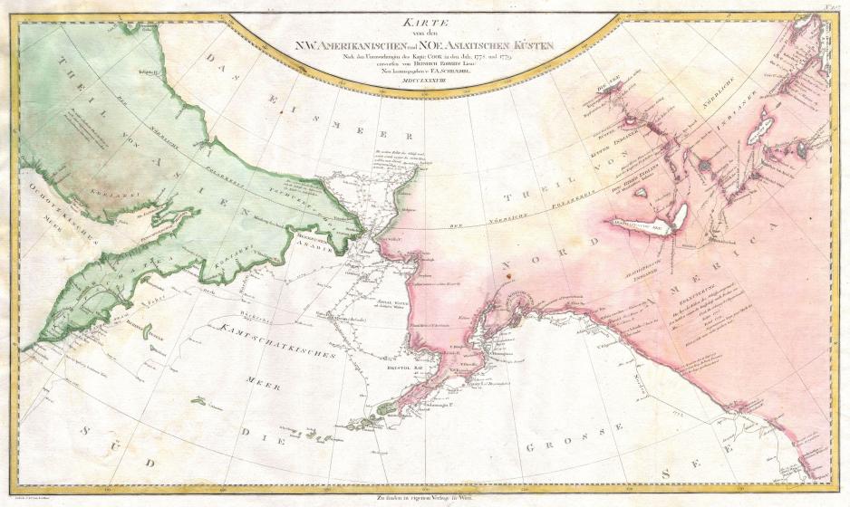
Captain Cook made a map of his explorations along the northwest coast of America and the northeast coast of Asia. His work is now being used to map history of the shrinking sea ice extent. (Credit: http://www.geographicus.com/)
Using history to navigate a rapidly changing Arctic, researcher Harry Stern is using Captain James Cook’s journals to map the history of the shrinking sea ice extent.
Using history to navigate a rapidly changing Arctic, researcher Harry Stern is using Captain James Cook’s journals to map the history of the shrinking sea ice extent.
In the summer of 1778, renowned English explorer Captain James Cook sojourned north to discover the impossible: a sea route connecting Asia to Europe that could bypass the time-consuming voyage around the Horn of Africa.
Captain Cook’s fabled attempt to traverse the icy waters of the Northwest Passage in HMS Resolution was, like many ill-fated expeditions of the age, carried out in the name of gold, glory, and his patron crown, King George III.
And yet, despite much valor and fortitude, Captain Cook’s attempt was ultimately thwarted by "ice which was as compact as a Wall and seemed to be ten or twelve feet high at least."
Never one to give up, Cook ordered HMS Resolution to follow the ice edge in search of the elusive open waters of the Passage, sailing all the way to Siberia guided through the fog by the barks of what the crew called sea horses (walruses).
Captain Cook never succeeded in bringing the glory of the Northwest Passage to King George III in 1778 or 1779. But his journey did produce a rich treasure trove of maps, ship logs, and other documents that charted the ice edge and conditions of the time. Though not the gold he was looking for, these records have proven invaluable in the scientific journey to understand climate change today.
Long forgotten to the archives save for the attention of historians and historical enthusiasts, Captain Cook’s logs and diary have been given new light by 21st Century climate change researchers, like mathematician Harry Stern of the University of Washington’s Polar Science Center.
Learning from the Past
Mr. Stern studies Arctic sea ice and climate today using satellite data to better understand, model, and in part predict the changing dynamics, deformations, and thinning of circumpolar ice in a warmer world.
But satellite imagery and current models only give part of the story. To truly understand the Arctic’s dramatic transformations, scientists also need baseline data on natural variability and ice conditions before post-industrial anthropogenic warming took place.
For that, Mr. Stern needed Captain Cook’s meticulous record keeping of the Bering Strait region to create a detailed history of ice cover in the region extending back to that fateful journey in 1778.
Published earlier this month in the journal Polar Geography, Mr. Stern’s historic data mining from dozens of hand-drawn maps, satellite imagery, and captain records has helped to confirm an alarming trend in recent sea ice decline. This recent work extends the historic record of sea ice back an additional 72 years from the work of earlier researchers who previously tracked first-hand accounts in the region back to 1850.
The historic findings are dramatic: according to Mr. Stern’s data collection, there has been no similar warm periods like we are seeing today in historic times for the past 200 years.
"In the last 10 to 15 years, the changes have been dramatic," Mr. Stern said in an interview with High North News.
"The summer ice edge in the Chukchi Sea is now hundreds of miles farther north than it used to be. This has opened up the opportunity for many ships, mostly private yachts, to transit the Northwest Passage, and for oil companies to consider drilling in the Chukchi Sea. It’s also impacting ice-dependent marine mammals like polar bears and beluga whales."
From Captain Cook’s journey in 1778 up to the 1990s, ships could reliably expect to hit ice around 70 degrees north by August in the Chukchi Sea, making trips to the Arctic through the Bering Sea between Alaska and Russia impossible.
That dependable pattern of seasonal melting and reforming ice stopped in the 1990s. For the past thirty years, ice has consistently melted earlier, and returned later each year. Now, the ice edge is hundreds of miles further north, with the possibility of disappearing entirely in a few decades. The total volume of Arctic ice in the summer is 60 to 70 percent lower than what it measured in the 1980s.
"But one thing hasn’t changed," warns Mr. Stern, "it’s still dangerous to navigate through ice-covered waters."
Persistent Dangers 200 Years Later
This past summer, the 1,000-passenger luxury cruise ship Crystal Serenity passed easily through the same waters that were once a wall of ice ten feet high that greeted the HMS Resolution in 1778. While this Serenity and other reinforced larger commercial ships now make the previously unmanageable journey from Asian to Western markets safely, increasingly unpredictable ice conditions can be dangerous.
While western science is using Captain Cook’s diaries and satellite imagery to better understand the transformation and timing of sea ice melt, indigenous communities across the Arctic region have been living through, observing, and monitory these changes in the 200 year interim between Cook’s journey and Mr. Stern’s publication.
Sea ice plays an important cultural, ecological, and economical role for northern communities. It provides a natural defense against intense fall storms and wave surges; offers a safe platform to embark on marine mammal hunts; and builds a winter highway system to neighboring villages.
With thinning and disappearing ice, there is no natural barrier to protect communities like Shishmaref on the Chuchki Sea in Alaska from being inundated by fall storms. And the once stable ice for travel and hunting becomes dangerous, leading to issues in food security, personal injury, and even death.
Using Past Data to Navigate the Future
While Captain Cook’s logs cannot mitigate the greenhouse gas emissions that have led to today’s unprecedented ice loss, they can provide important baseline data to inform future models to help scientists and communities alike better predict the dangers of a changing Arctic.
"Of course no two historical situations are exactly the same," Mr. Stern reminds us, "but history is important for seeing how decisions made at one point in time can have significant consequences (perhaps unintended) that play out over a long period of time. There is still plenty of information to mine from the past that can help us to better navigate the future."
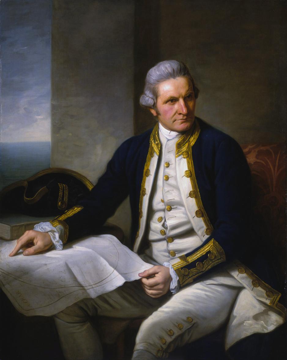
Captain James Cook, a portrait by Sir Nathaniel Dance-Holland in 1775. (Credit: https://commons.wikimedia.org/wiki/File:Captainjamescookportrait.jpg)